I've been doing a little bit of webxploring for someone, they're thinking of trying to use their staff (who are all over the world, in some fairly unreachable places) to create interesting stuff for the internet. They want to find easy ways to upload pictures and other stuff to the web, and to automatically geotag it.
So I've been looking at geotag related stuff and I thought I'd chuck it up here. If you're familiar with this world then this'll be very old hat. But it might be useful to someone.
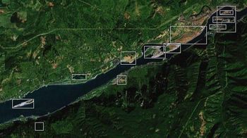
I'd never looked at wikimapia before, which is what you'd expect. Here's Stonehenge, here's BBC Broadcasting House (with Dr Watson's House to the left) and here's Multnomah Falls.
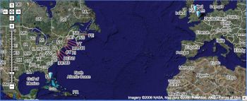
I've been half-heartedly playing with Platial for a while. I like the way you can build your own themed maps (here's a map of the Top Ten Cities Looking For Information On Chapped Lips According To Google Trends) and I imagined it would be a good companion to ebcb and agpfacotaat. But somehow I've not really got round to much.
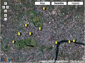
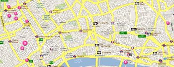
I've done a bit of plazing too. I like the sense of discovery you get when you log a new plaze. But I'm not really sure why I'm doing it beyond that. Except the badge down there on the right indicates just how much time I spent at home.
Not quite sure why geocaching hasn't gotten bigger than it has. There's something in it. Similarly all those things that allow you to tag the real world somehow (with stickers or big yellow arrows or whatever) don't seem to have achieved critical mass either. I wonder if it's all just too much trouble for people. Or am I just missing something?
I do like the ease of adding geographical tags to pictures in flickr. But I guess it depends on being somewhere that's mapped and it's a little after the fact.
You really want to be able to do it automatically. The best option here would seem to be the Nokia N95 when it launches, or using a GPS mouse and Zonetag (as described by Tom Coates) but that again seems to require a Nokia 60 or some Motorola phone. I got my phone to talk to a GPS thing and work with Nav4All and I've got Shozu installed and working, but I can't see how to get info from one to the other. This Sony thing looks nifty too but it'll only work with PCs (I think).


I have several packets of those Yellow Arrow jobbies that I had sent over from the states.
I'm repeatedly extolling their virtues (and that of the geographic web) to clients, although have yet to stick one anywhere myself.
It is just that they seem too complex to use. Especially for the receiving user who won't necessarily have the background knowledge. You feel that your ultimate effort will be wasted. And that's not what information sharing should be about.
Posted by: Nick | December 06, 2006 at 04:38 PM
Thanks for sharing your research on these apps Russell.
I've been looking for something that lets me tag a google map on the fly, and lets me then publish the map to my website. Google maps mobile is great for creating a personalized map on my mobile, but doesn't (yet) have the functionality to export the data. Plazes and Zonetag sound promising though -I'm going to look into those.
If anyone knows of any other apps, please let me know!
Posted by: Adrian Lai | December 06, 2006 at 08:27 PM
Hey Adrian,
There are a few more geographical apps that were on display at Sonar this year. I blogged about them here - complete with links.
Just look under Russell's entry on the same blog ;-)
http://daresessionsblog.blogspot.com/
Posted by: Nick | December 06, 2006 at 09:19 PM
Thanks, I found this really useful too as I've been trying to get something similar going for Nothing To See Here, but only got so far with Google Maps. I'm looking for something similar to Adrian and also want the tags to link to NTSH and not whatever site the map's being pulled from. I'll have a look at the suggestions and would be glad to hear any more tips too.
Posted by: Anne | December 06, 2006 at 09:43 PM